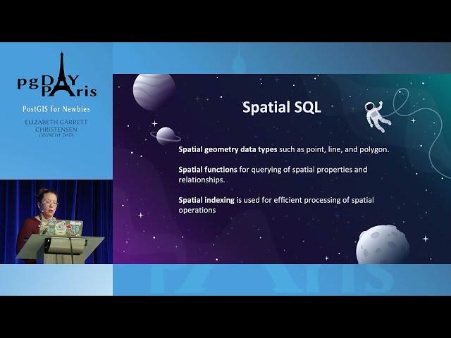
PostGIS for Newbies - Elizabeth Garrett Christensen
Calling anyone who loves maps and location data! PostGIS is the open source geospatial extension to PostgreSQL and it's super easy to get started with. This talk is a live demo and walkthrough of the basics of PostGIS. From importing geospatial data from a vector file, writing queries and functions, to getting maps and routes from the database into a web browser. I’ll also show off some of the projects being used in the PostGIS world and what you can build with your newfound knowledge.
Комментарии:
PostGIS for Newbies - Elizabeth Garrett Christensen
PostgreSQL Europe
СБОРНИК СЕРИЙ 2023 - Федеральный судья
ТЕЛЕРОМАН СУД
MAX FOV SNIPING in Bad Business...
Wildaces
Новости 8:00 за 5 января 2021 года
FREEДOM. LIVE
Using Guns I Die to in Bad Business
UndeadNekomancer


