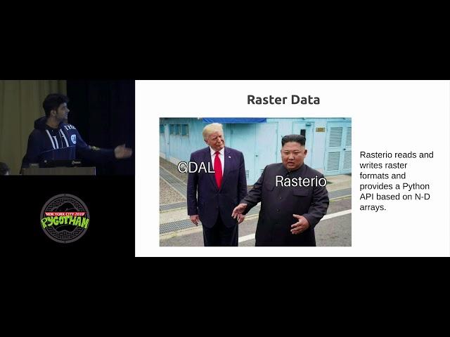
Spatial thinking with Python
Speaker: Sangarshanan
Data scientists work with all kinds of data, It could be a text an image or
maybe it is a bunch of coordinates. Though computer vision and natural
language processing have hit it off spatial data science doesn’t get the
attention it deserves. Spatial data has both social and industrial impact.
Spatial data is useful in agriculture and for observing weather patterns to
predict natural disasters. It is also very important for industries that
deal with logistics and supply chain management.
In this talk I would talk about spatial data it’s importance and elaborate
on how to store, manipulate and visualize such data. I would talk about the
use of Python and several related modules (GDAL, Shapely, Fiona etc) in
processing geospatial data. I would also like to discuss QGIS, a desktop
based open source GIS platform and a variety of useful operations that can
be done with it. I would also like to talk about building geospatial
dashboards to share and serve spatial layers and discuss the geospatial
support provided by the various open source projects like postgis, geonode,
elastic stack V7.0 and much more
Комментарии:
Spatial thinking with Python
PyGotham 2019
Портер 1 замен печка родиятор
БАГБАНЧЫЛЫК
Sabrina the Animated Series 110 - Shrink to Fit | HD | Full Episiode
Sabrina The Teenage Witch - WildBrain
Как выучить произведение на фортепиано
Школа Музыки Си-Ля
Як почати ТОВАРНИЙ БІЗНЕС з нуля у 2024 році
Андрій Калінчук | PRO бізнес
Який бізнес відкрити у 2024 / ІДЕЇ ДЛЯ БІЗНЕСУ з мінімальними вкладеннями
ХРИСТИНА СИТНИЧЕНКО
Як почати товарний бізнес з нуля. Який потрібен стартовий капітал?
Андрій Калінчук | PRO бізнес
С Днем российской печати!
Тверской проспект
Як почати бізнес без стартового капіталу?
Дмитрий Остапенко


