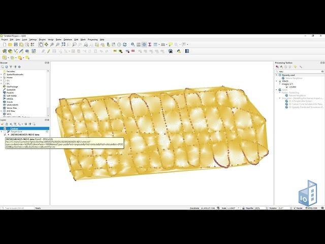
QGIS: A free and open-source geographic information system
QGIS is a free-to-use geographic information system (GIS) software which can be used for viewing, editing, printing, and analyzing geospatial data.
The software supports raster, vector and mesh layers and features compatibility with other open-source GIS packages, as well as a plethora of coordinate systems.
What do you think? Comment on our video here or provide a review for QGIS software in our website:
https://www.dcodes.io/news/qgis-a-free-and-open-source-geographic-information-system
Комментарии:
Голова садовая - Парша на картофеле
Голова садовая
My YouTube Income Revealed. How much money do YouTubers make?
Martin Johnson - Off Grid Living
Огнебиозащита досок для крыши - хитрый способ обработки
МОСКОВСКАЯ ДЕРЕВНЯ // PASSIVE HOUSE IN RUSSIA 🇷🇺
Масло "Лада" ОТЗЫВ, КАК Я ЧУТЬ НЕ УБИЛ ДВИГАТЕЛЬ НА ЛАРГУСЕ, залил Мобил Ультра
Айдар Н. Кагарманов


