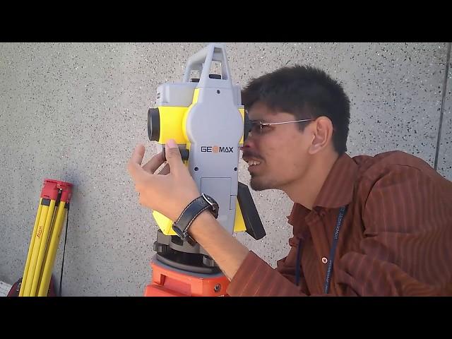
Learning Modern Surveying Instruments - TOTAL STATION
Комментарии:

TOTAL STATION ME ROAD KE BARE ME KUCHH ICON DIYA HUA HAI.
Ответить
Sir make video in hindi
Ответить
Next viedo how to save data and take reading. Plzz
Ответить
Sir 1 video baniye jisme ye ho ki Konsa option konse survey k liye hai plzzz sir
Ответить
Good job sir but plzzz upload the vedio how to use the MLM in geo max zoom 20
Ответить
ima puni, nichaucu cay runacuna, chay estacion sinchi puni
munachani

Sir jordar
Ответить
informative ,,, but some information's are missing by dislocation of camera man . also coudnt see what is happening in the screen so. please make it ok next time
Ответить
Good but disturbance
Ответить
Make an video in tamil
Ответить
your English is a little week to understand better you give in Hindi language
Thanks.

How can this instrument useful for marking column center line layout and further more levels checking during the substructure work and super structure till the terrace slab concreting work.
Ответить
Sir explain road alignment
Ответить
why you use footscrws to level the TS ??????
Ответить
awesome sir.
subscribe back sir

Audio is not clear ,,will u please upload with clear audio
Ответить
आप की आवाज सही नहीं आ रही
Ответить
If someone want to learn, then what is procedure to meet you must reply plz
Ответить
please use microfone .
Ответить
very beautiful video sir
Ответить
Can you make in hindi lalnguage if so it will great for us ........ From Nepal
Ответить
sir mujhe total station survey ki training Leni hai mujhe pura course sikhana hai
Ответить
Explanation from students is good idea but one thing I would say that is clear explanation and video editing improve to understand unknown students..keep doing adavance instrument videos ..all d best
Ответить
Good job guys.. But there are drawbacks i.e audio clarity, you just speeded up when explaining about total station software procedure.. A bit confused by new ones like me... Other wise every thing is excellent. A good idea to share knowledge..
Ответить
Good video but ye start me right vala overacting KR rha
Ответить
Gec vada ho
Ответить
Gujrati ma thapkaro
Ответить
If you are not comfortable to explain it in English u can explain it in hindi that's better to understand 😑 🙏
Ответить
Sound quality bad
Ответить
Explain not good brother
Ответить
audio quality very poor, video also shaky, editing could have been better, and most importantly , everything could have been explained better in Hindi as English speaking was not up to the mark of an Engineer. Rest we understood on our own by watching this...Data exported in CSV format? can we export the data in excel? Thanks any way, There is always scope for improvement.
Ответить
Sir stake out ka matlab kya he or kese kiya jata he or advantages kya he?
Ответить
Super
Ответить
Instrument very very good and super but your camera not clarity please change .
Total station display was not clarity in your cam

Hello sir i want to learn it and also start my business for surway lands in village plz share any number and email
Ответить
Sir I lost horizon desktop (converter) plz sir
Update a video on the software plz plz

Great Work
Ответить
I already handling leica ts02 ...but this model totally different but same methodology for survey..
Ответить
Please give me your number, I need help
Ответить
great
Ответить
How to prepare cad drg on the basis of usb data transfer from total station
Ответить
Give me mo number
Ответить
Sir pls do a video on partition using geomax total station
Ответить
Thank you 😊
Ответить
Geo max model name...%?
Ответить
Make the video clear otherwise it is interesting one
Ответить
Mene bhe geomax 50 liya he... AHEMDABAD se... 1"
Ответить
How much Rs sir
Ответить
Please, I really need help connecting my gs14 to the base via Bluetooth. It keeps bring up his error message;
"selected antenna not suitable for connected GNSS sensor



![Masterboy - Generation Of Love (1995) [Full Album] Masterboy - Generation Of Love (1995) [Full Album]](https://smotrel.cc/img/upload/Z1NWN0VjVlBKR1c.jpg)
